2018
TG0703 : Farmland between the B1135 and the Mid-Norfolk Railway
taken 6 years ago, near to Crownthorpe, Norfolk, England
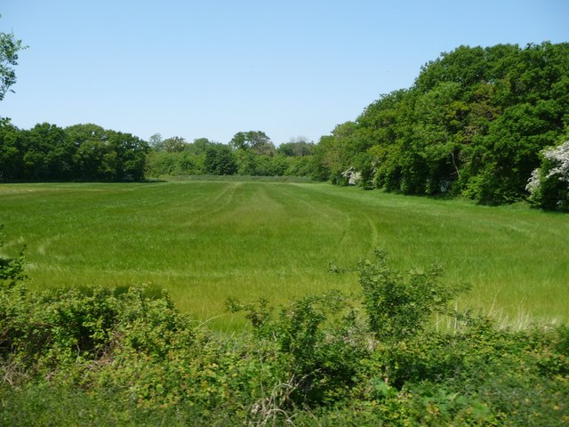
Farmland between the B1135 and the Mid-Norfolk Railway
Bounded by Alma Plantation to the east/right and New Wood to the north/ahead.
 Map © Crown Copyright")
TIP: Click the map for more Large scale mapping
- Grid Square
- TG0703, 68 images (more nearby 🔍)
- Photographer
- Christine Johnstone (more nearby)
- Date Taken
- Wednesday, 23 May, 2018 (more nearby)
- Submitted
- Monday, 25 June, 2018
- Subject Location
-
OSGB36:
 TG 0787 0344 [10m precision]
WGS84: 52:35.3398N 1:4.0342E - Camera Location
-
OSGB36: TG 0788 0339
- View Direction
- NORTH (about 0 degrees)