2018
NZ3670 : Links Road, Cullercoats
taken 6 years ago, near to Cullercoats, North Tyneside, England
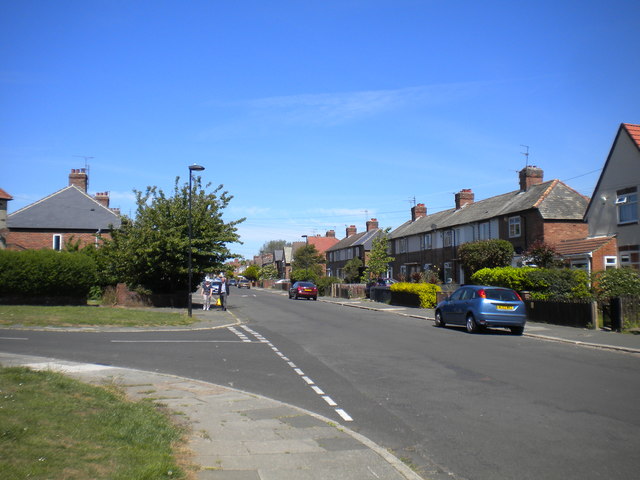
Links Road, Cullercoats
 Map © Crown Copyright")
TIP: Click the map for more Large scale mapping
- Grid Square
- NZ3670, 212 images (more nearby 🔍)
- Photographer
- Richard Vince (more nearby)
- Date Taken
- Thursday, 28 June, 2018 (more nearby)
- Submitted
- Saturday, 7 July, 2018
- Subject Location
-
OSGB36:
 NZ 3620 7094 [10m precision]
WGS84: 55:1.9004N 1:26.1119W - Camera Location
-
OSGB36: NZ 3620 7091
- View Direction
- NORTH (about 0 degrees)