2007
SP5872 : Crick-The Wheatsheaf
taken 17 years ago, near to Crick, West Northamptonshire, England
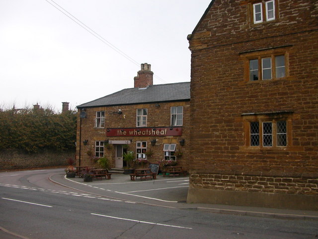
Crick-The Wheatsheaf
The public house on the corner of Church Street.
 Map © Crown Copyright")
TIP: Click the map for more Large scale mapping
- Grid Square
- SP5872, 124 images (more nearby 🔍)
- Photographer
- Ian Rob (more nearby)
- Date Taken
- Friday, 12 October, 2007 (more nearby)
- Submitted
- Saturday, 13 October, 2007
- Subject Location
-
OSGB36:
 SP 589 723 [100m precision]
WGS84: 52:20.7856N 1:8.1893W - Camera Location
-
OSGB36: SP 589 723
- View Direction
- Northwest (about 315 degrees)