2007
TF7621 : Bridleway meets Permitted Footpath
taken 17 years ago, 3 km from Gayton Thorpe, Norfolk, England
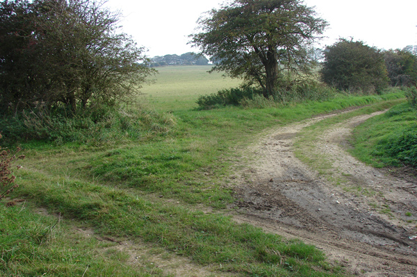
Bridleway meets Permitted Footpath
The track off to the right is only a permitted footpath.
 Map © Crown Copyright")
TIP: Click the map for more Large scale mapping
- Grid Square
- TF7621, 18 images (more nearby 🔍)
- Photographer
- Robert Walden (more nearby)
- Date Taken
- Sunday, 14 October, 2007 (more nearby)
- Submitted
- Sunday, 14 October, 2007
- Subject Location
-
OSGB36:
 TF 763 214 [100m precision]
WGS84: 52:45.6905N 0:36.7176E - Camera Location
-
OSGB36: TF 763 214
- View Direction
- Southeast (about 135 degrees)