2018
NZ0944 : A68 south at Denehouse Bridge
taken 6 years ago, near to Butsfield, County Durham, England
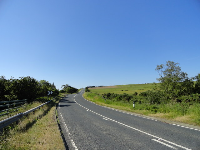
A68 south at Denehouse Bridge
On the A68 about 4k south of Castleside.
 Map © Crown Copyright")
TIP: Click the map for more Large scale mapping
- Grid Square
- NZ0944, 17 images (more nearby 🔍)
- Photographer
- Robert Graham (more nearby)
- Date Taken
- Wednesday, 27 June, 2018 (more nearby)
- Submitted
- Thursday, 26 July, 2018
- Subject Location
-
OSGB36:
 NZ 0937 4449 [10m precision]
WGS84: 54:47.7126N 1:51.3475W - Camera Location
-
OSGB36: NZ 0935 4456
- View Direction
- SOUTH (about 180 degrees)