2018
NS2176 : Ferry approaching McInroy's Point
taken 6 years ago, near to Gourock, Inverclyde, Scotland
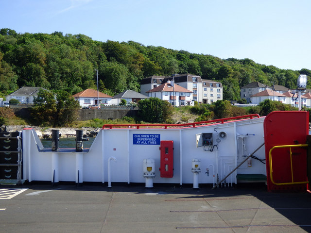
Ferry approaching McInroy's Point
The houses are on Cloch Road.
 Map © Crown Copyright")
TIP: Click the map for more Large scale mapping
- Grid Square
- NS2176, 149 images (more nearby 🔍)
- Photographer
- Thomas Nugent (more nearby)
- Date Taken
- Monday, 2 July, 2018 (more nearby)
- Submitted
- Monday, 20 August, 2018
- Subject Location
-
OSGB36:
 NS 2182 7672 [10m precision]
WGS84: 55:57.0224N 4:51.3120W - Camera Location
-
OSGB36: NS 2181 7682
- View Direction
- SOUTH (about 180 degrees)