2018
TQ5942 : Pond, Barnetts Wood
taken 6 years ago, near to Southborough, Kent, England
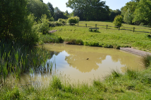
Pond, Barnetts Wood
Barnetts Wood is a diverse, 12ha Local Nature Reserve, designated in 1988, containing ancient broadleaf woodland, flower rich meadows, hedges and ponds. As well as a sculpture trail and woodland walks. The woodland has been managed by coppicing and used for charcoal production. Historically the charcoal was used in the local gunpowder industry.
See other images of Barnett's Wood Local Nature Reserve
See other images of Barnett's Wood Local Nature Reserve
 Map © Crown Copyright")
TIP: Click the map for more Large scale mapping
- Grid Square
- TQ5942, 505 images (more nearby 🔍)
- Photographer
- N Chadwick (more nearby)
- Date Taken
- Saturday, 19 May, 2018 (more nearby)
- Submitted
- Monday, 17 September, 2018
- Subject Location
-
OSGB36:
 TQ 5953 4246 [10m precision]
WGS84: 51:9.5493N 0:16.7992E - Camera Location
-
OSGB36: TQ 5954 4246
- View Direction
- West-southwest (about 247 degrees)