2005
SC3394 : The Bollyn Road, north of highest point
taken 19 years ago, near to The Cronk, Isle of Man
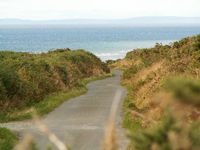
The Bollyn Road, north of highest point
The coast of Scotland can be seen in the distance. The photograph is taken about 1km from The Cronk on the Bollyn Road between Bishopscourt/Orrisdale and Ballaugh Cronk.
 Map © Crown Copyright")
TIP: Click the map for more Large scale mapping
- Grid Square
- SC3394 (more nearby 🔍)
- Photographer
- David Radcliffe (more nearby)
- Date Taken
- Friday, 16 September, 2005 (more nearby)
- Submitted
- Thursday, 29 September, 2005
- Subject Location
-
OSGB36:
 SC 334 948 [100m precision]
WGS84: 54:19.2906N 4:33.7840W - Camera Location
-
OSGB36: SC 334 949