2018
NZ7018 : Mill Lane south of Carlin How
taken 6 years ago, near to Carlin How, Redcar And Cleveland, England
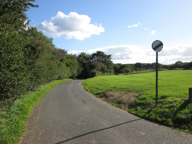
Mill Lane south of Carlin How
 Map © Crown Copyright")
TIP: Click the map for more Large scale mapping
- Grid Square
- NZ7018, 15 images (more nearby 🔍)
- Photographer
- John Slater (more nearby)
- Date Taken
- Wednesday, 12 September, 2018 (more nearby)
- Submitted
- Friday, 21 September, 2018
- Subject Location
-
OSGB36:
 NZ 7085 1894 [10m precision]
WGS84: 54:33.6446N 0:54.3531W - Camera Location
-
OSGB36: NZ 7083 1897
- View Direction
- Southeast (about 135 degrees)