2018

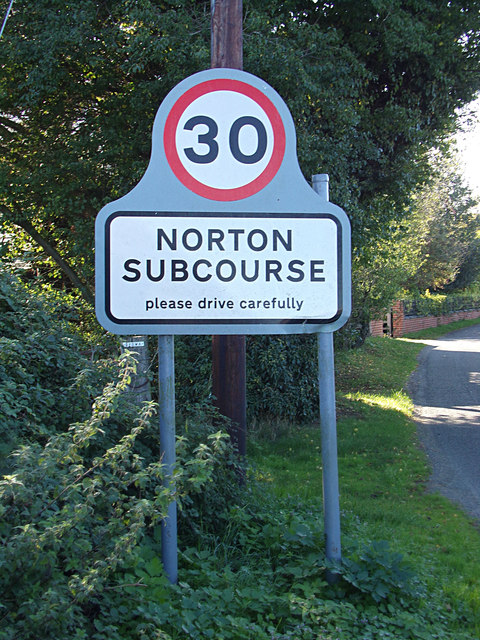
TM4198 : Norton Subcourse Village Sign on Low Road

taken 5 years ago, near to Thurlton, Norfolk, England

Norton Subcourse Village Sign on Low Road
LinkExternal link

See other images of Norton Subcourse, Norfolk

Creative Commons Licence [Some Rights Reserved]   © Copyright Geographer and licensed for reuse under this Creative Commons Licence.
Geographical Context: Village, Rural settlement On: Low Road At: Norton Subcourse Primary Subject: Sign other tags: Village Name Sign Norton Subcourse Village Name Sign Click a tag, to view other nearby images.
This photo is linked from: Automatic Clusters: · Junction with the Street [45] · Norton Subcourse [35] · Sign [31] ·
1:50,000 Modern Day Landranger(TM) Map © Crown Copyright
+
+
1:50,000 Modern Day Landranger(TM) Map © Crown Copyright
TIP: Click the map for more Large scale mapping
Grid Square
TM4198, 290 images   (more nearby 🔍)
Photographer
Geographer   (more nearby)
Date Taken
Sunday, 21 October, 2018   (more nearby)
Submitted
Wednesday, 24 October, 2018
Subject Location
OSGB36: geotagged! TM 41384 98660 [1m precision]
WGS84: 52:31.9365N 1:33.4526E
Camera Location
OSGB36: geotagged! TM 41385 98663
View Direction
South-southwest (about 202 degrees)
Clickable map
+
NW N NE
W Go E
SW S SE
Image Type (about): close look 
This page has been viewed about 17 times
You are not logged in login | register