2018
SK2181 : Derbyshire Dales : Castleton Road A6187
taken 6 years ago, near to Hathersage, Derbyshire, England
This is 1 of 2 images, with title Derbyshire Dales : Castleton Road A6187 in this square
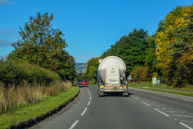
Derbyshire Dales : Castleton Road A6187
A road heading through the Derbyshire Dales District.
 Map © Crown Copyright")
TIP: Click the map for more Large scale mapping
- Grid Square
- SK2181, 95 images (more nearby 🔍)
- Photographer
- Lewis Clarke (more nearby)
- Date Taken
- Monday, 1 October, 2018 (more nearby)
- Submitted
- Wednesday, 24 October, 2018
- Subject Location
-
OSGB36:
 SK 2187 8183 [10m precision]
WGS84: 53:19.9760N 1:40.3835W - Camera Location
-
OSGB36: SK 21884 81826
- View Direction
- West-northwest (about 292 degrees)