2018
SK1982 : High Peak : Hope Road A6187
taken 6 years ago, near to Thornhill, Derbyshire, England
This is 1 of 2 images, with title High Peak : Hope Road A6187 in this square
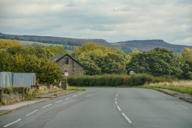
High Peak : Hope Road A6187
Heading along Hope Road between Hope and Hathersage.
 Map © Crown Copyright")
TIP: Click the map for more Large scale mapping
- Grid Square
- SK1982, 55 images (more nearby 🔍)
- Photographer
- Lewis Clarke (more nearby)
- Date Taken
- Monday, 1 October, 2018 (more nearby)
- Submitted
- Wednesday, 24 October, 2018
- Subject Location
-
OSGB36:
 SK 1943 8279 [10m precision]
WGS84: 53:20.4994N 1:42.5783W - Camera Location
-
OSGB36: SK 19411 82797
- View Direction
- EAST (about 90 degrees)