2006
NM2624 : Port Pollarain
taken 18 years ago, near to Baile Mòr, Argyll And Bute, Great Britain
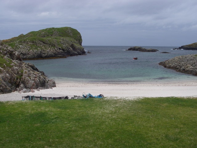
Port Pollarain
View from the machair to the Atlantic across Port Pollarain (Port of the Pools), with Carraig Mhic Guaire to the south.
 Map © Crown Copyright")
TIP: Click the map for more Large scale mapping
- Grid Square
- NM2624, 54 images (more nearby 🔍)
- Photographer
- Simon Leatherdale (more nearby)
- Date Taken
- Wednesday, 13 September, 2006 (more nearby)
- Submitted
- Sunday, 28 October, 2007
- Subject Location
-
OSGB36:
 NM 263 242 [100m precision]
WGS84: 56:19.8831N 6:25.7467W - Camera Location
-
OSGB36: NM 264 242
- View Direction
- WEST (about 270 degrees)