2018
NJ2133 : Burn of Knocknashalg
taken 5 years ago, 4 km SE of Bridge of Avon, Moray, Scotland
Burn of Knocknashalg
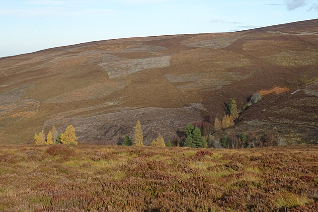
You can't actually see the burn from the Tomintoul Spur of the Speyside Way Link here, but it's in the gully among the trees. The hill above it is named on the maps using the Gaelic version, Cnoc na Sealg.
Speyside Way
The Speyside Way is a long-distance path linking Buckie on the Moray Coast to Aviemore in Strathspey.
The official Speyside Way web site at Link
Beware a similar-sounding unofficial web site ending in .org that contains inaccurate information but tends to come up in search engines well ahead of the official one!
 Map © Crown Copyright")
TIP: Click the map for more Large scale mapping
- Grid Square
- NJ2133, 5 images (more nearby 🔍)
- Photographer
- Anne Burgess (more nearby)
- Date Taken
- Monday, 12 November, 2018 (more nearby)
- Submitted
- Sunday, 18 November, 2018
- Subject Location
-
OSGB36:
 NJ 2117 3367 [10m precision]
WGS84: 57:23.1960N 3:18.7766W - Camera Location
-
OSGB36: NJ 2100 3330
- View Direction
- North-northeast (about 22 degrees)