2011
TQ3955 : In Hell Shaw
taken 13 years ago, near to Woldingham, Surrey, England
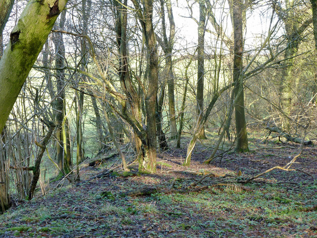
In Hell Shaw
The flat top and steep bank falling away to the field to the north does not seem natural. There are mapped earthworks ('Enclosure') not far behind the camera, which I overlooked, so this scrap of woodland may have had some former use.
 Map © Crown Copyright")
TIP: Click the map for more Large scale mapping
- Grid Square
- TQ3955, 38 images (more nearby 🔍)
- Photographer
- Robin Webster (more nearby)
- Date Taken
- Tuesday, 18 January, 2011 (more nearby)
- Submitted
- Thursday, 29 November, 2018
- Subject Location
-
OSGB36:
 TQ 3920 5504 [10m precision]
WGS84: 51:16.6504N 0:0.3397W - Camera Location
-
OSGB36: TQ 39177 55020
- View Direction
- Northeast (about 45 degrees)