2018
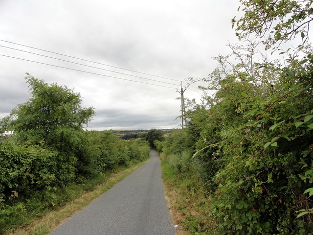
NZ1754 : Harperley Lane
taken 6 years ago, near to Tantobie, County Durham, England
This is 1 of 2 images, with title starting with Harperley Lane in this square
Harperley Lane
This lane runs south from the old mining village of Tantobie to the farming hamlet at Harperley. Particularly thick hedges here in midsummer.
 Map © Crown Copyright")
TIP: Click the map for more Large scale mapping
- Grid Square
- NZ1754, 51 images (more nearby 🔍)
- Photographer
- Robert Graham (more nearby)
- Date Taken
- Tuesday, 24 July, 2018 (more nearby)
- Submitted
- Friday, 30 November, 2018
- Subject Location
-
OSGB36:
 NZ 1757 5413 [10m precision]
WGS84: 54:52.8972N 1:43.6605W - Camera Location
-
OSGB36: NZ 1751 5421
- View Direction
- Southeast (about 135 degrees)