2007
SK7800 : A47 Uppingham Road
taken 16 years ago, near to East Norton, Leicestershire, England
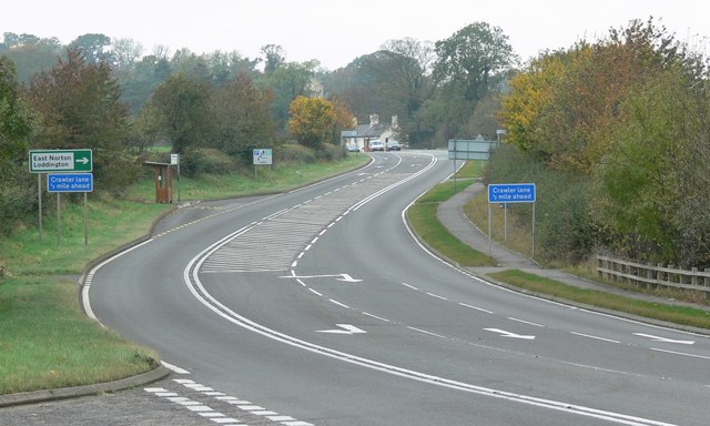
A47 Uppingham Road
This road bypasses the small Leicestershire village of East Norton.
 Map © Crown Copyright")
TIP: Click the map for more Large scale mapping
- Grid Square
- SK7800, 56 images (more nearby 🔍)
- Photographer
- Mat Fascione (more nearby)
- Date Taken
- Saturday, 27 October, 2007 (more nearby)
- Submitted
- Friday, 2 November, 2007
- Subject Location
-
OSGB36:
 SK 780 003 [100m precision]
WGS84: 52:35.7263N 0:50.9419W - Camera Location
-
OSGB36: SK 783 002
- View Direction
- West-northwest (about 292 degrees)