2012
SD5375 : Old Boundary Marker by Dalton Lane, Burton-in-Kendal
taken 12 years ago, near to Burton-in-Kendal, Cumbria, England
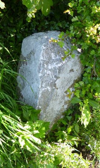
Old Boundary Marker by Dalton Lane, Burton-in-Kendal
Parish Boundary Marker by the UC road, in parish of Burton-in-Kendal (South Lakeland District), Dalton Lane, opposite footpath to Coat Green, on embankment, North side of road.
Surveyed
Milestone Society National ID: WE_BUKDAL01pb
Surveyed
Milestone Society National ID: WE_BUKDAL01pb
National Survey of Wayside Features by The Milestone Society
These images are from Link
 Map © Crown Copyright")
TIP: Click the map for more Large scale mapping
- Grid Square
- SD5375, 15 images (more nearby 🔍)
- Photographer
- Milestone Society (more nearby)
- Date Taken
- 2012 (more nearby)
- Submitted
- Tuesday, 5 February, 2019
- Subject Location
-
OSGB36:
 SD 53337 75912 [1m precision]
WGS84: 54:10.6115N 2:42.9834W - Camera Location
-
OSGB36: SD 53337 75912
- View Direction
- NORTH (about 0 degrees)