2001
NZ3566 : Newcastle Harbour
taken 23 years ago, near to North Shields, North Tyneside, England
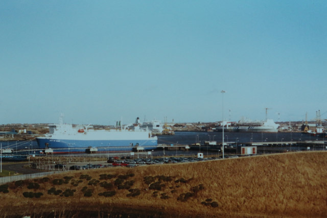
Newcastle Harbour
Taken during the summer of 2001 on film. We were visiting the city to eventually catch a ferry to Norway.
 Map © Crown Copyright")
TIP: Click the map for more Large scale mapping
- Grid Square
- NZ3566, 202 images (more nearby 🔍)
- Photographer
- Malcolm Neal (more nearby)
- Date Taken
- Monday, 20 August, 2001 (more nearby)
- Submitted
- Wednesday, 27 March, 2019
- Subject Location
-
OSGB36:
 NZ 357 668 [100m precision]
WGS84: 54:59.6920N 1:26.5837W - Camera Location
-
OSGB36: NZ 352 666
- View Direction
- East-northeast (about 67 degrees)