2019
NO4202 : Road junction, Lower Largo
taken 5 years ago, near to Lower Largo, Fife, Scotland
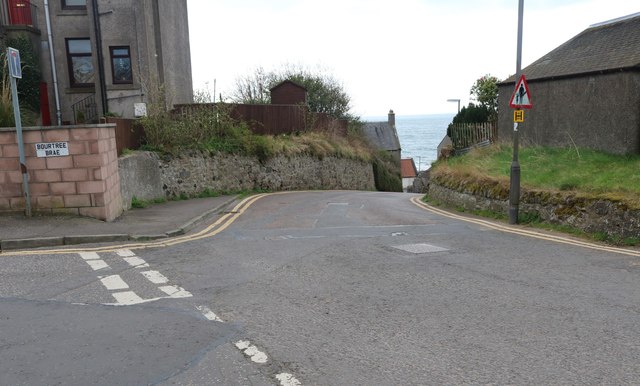
Road junction, Lower Largo
Bourtree Brae joins Durham Wynd which runs downhill to Main Street.
See Lower Largo article Link
See Lower Largo article Link
 Map © Crown Copyright")
TIP: Click the map for more Large scale mapping
- Grid Square
- NO4202, 214 images (more nearby 🔍)
- Photographer
- Bill Kasman (more nearby)
- Date Taken
- Friday, 29 March, 2019 (more nearby)
- Submitted
- Saturday, 30 March, 2019
- Subject Location
-
OSGB36:
 NO 4202 0272 [10m precision]
WGS84: 56:12.8106N 2:56.1830W - Camera Location
-
OSGB36: NO 4201 0273
- View Direction
- Southeast (about 135 degrees)