2019
SJ8810 : Watling Street (A5) at the junction with School Lane
taken 5 years ago, near to Horsebrook, Staffordshire, England
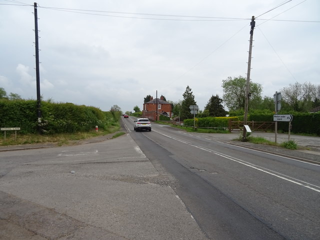
Watling Street (A5) at the junction with School Lane
Looking east.
 Map © Crown Copyright")
TIP: Click the map for more Large scale mapping
- Grid Square
- SJ8810, 28 images (more nearby 🔍)
- Photographer
- JThomas (more nearby)
- Date Taken
- Saturday, 18 May, 2019 (more nearby)
- Submitted
- Tuesday, 21 May, 2019
- Subject Location
-
OSGB36:
 SJ 8840 1076 [10m precision]
WGS84: 52:41.6637N 2:10.3843W - Camera Location
-
OSGB36: SJ 88361 10764
- View Direction
- EAST (about 90 degrees)