2006
SH6558 : Castell y Gwynt on Glyder Fach
taken 18 years ago, near to Pont Pen-y-Benglog, Conwy, Wales
This is 1 of 2 images, with title Castell y Gwynt on Glyder Fach in this square
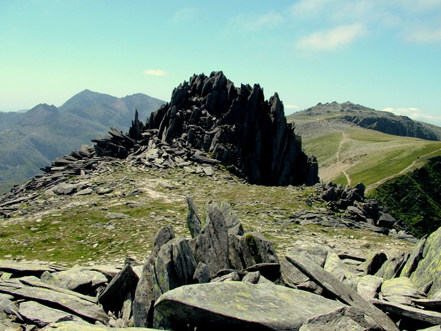
Castell y Gwynt on Glyder Fach
View of Castell y Gwynt (Castle of the Wind) on Glyder Fach with Snowdon to the left and Glyder Fawr to the right.
 Map © Crown Copyright")
TIP: Click the map for more Large scale mapping
- Grid Square
- SH6558, 138 images (more nearby 🔍)
- Photographer
- George Tod (more nearby)
- Date Taken
- Thursday, 13 July, 2006 (more nearby)
- Submitted
- Monday, 19 November, 2007
- Subject Location
-
OSGB36:
 SH 654 582 [100m precision]
WGS84: 53:6.2381N 4:0.7106W - Camera Location
-
OSGB36: SH 654 582
- View Direction
- West-southwest (about 247 degrees)