2007
SS5944 : Footpath to Broad Park Farm
taken 16 years ago, near to Patchole, Devon, England
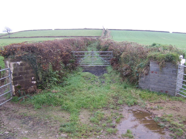
Footpath to Broad Park Farm
South of the A3123 near Yellaton.
 Map © Crown Copyright")
TIP: Click the map for more Large scale mapping
- Grid Square
- SS5944, 9 images (more nearby 🔍)
- Photographer
- Jonathan Billinger (more nearby)
- Date Taken
- Tuesday, 27 November, 2007 (more nearby)
- Submitted
- Thursday, 29 November, 2007
- Subject Location
-
OSGB36:
 SS 599 440 [100m precision]
WGS84: 51:10.6875N 4:0.2895W - Camera Location
-
OSGB36: SS 599 440
- View Direction
- SOUTH (about 180 degrees)