2004
NU0601 : The riverside/woodland path from Rothbury to Thrum Mill
taken 20 years ago, near to Rothbury, Northumberland, England
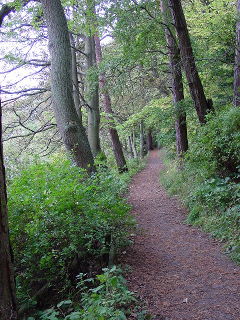
The riverside/woodland path from Rothbury to Thrum Mill.
 Map © Crown Copyright")
TIP: Click the map for more Large scale mapping
- Grid Square
- NU0601, 73 images (more nearby 🔍)
- Photographer
- Ann Hodgson (more nearby)
- Date Taken
- Sunday, 10 October, 2004 (more nearby)
- Submitted
- Saturday, 30 April, 2005
- Subject Location
-
OSGB36:
 NU 06 01 [1000m precision]
WGS84: 55:18.4530N 1:53.9492W