2007
TG4304 : Heading east
taken 16 years ago, near to Wickhampton, Norfolk, England
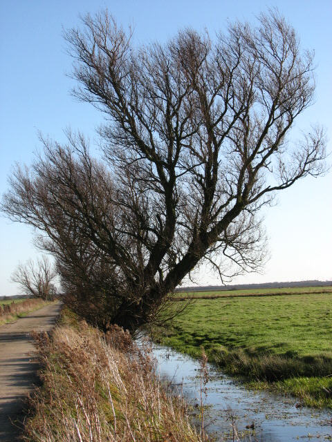
Heading east
This is the last section of the surfaced track that starts near St Andrew's church in Wickhampton > TG4205 : Bridleway through Wickhampton Marshes
 Map © Crown Copyright")
TIP: Click the map for more Large scale mapping
- Grid Square
- TG4304, 26 images (more nearby 🔍)
- Photographer
- Evelyn Simak (more nearby)
- Date Taken
- Saturday, 1 December, 2007 (more nearby)
- Submitted
- Saturday, 1 December, 2007
- Subject Location
-
OSGB36:
 TG 439 047 [100m precision]
WGS84: 52:35.1354N 1:35.9942E - Camera Location
-
OSGB36: TG 439 047
- View Direction
- East-southeast (about 112 degrees)