2005
NF9783 : Dunan Ruadh
taken 19 years ago, 5 km ENE of Baile, North Uist & Berneray, Na h-Eileanan an Iar, Scotland
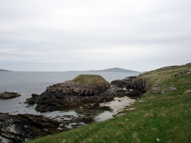
Dunan Ruadh
Dunan Ruadh on the isle of Killegray.
 Map © Crown Copyright")
TIP: Click the map for more Large scale mapping
- Grid Square
- NF9783 (more nearby 🔍)
- Photographer
- Marc Calhoun (more nearby)
- Date Taken
- Wednesday, 25 May, 2005 (more nearby)
- Submitted
- Sunday, 2 December, 2007
- Subject Location
-
OSGB36:
 NF 975 831 [100m precision]
WGS84: 57:44.1295N 7:4.9969W - Camera Location
-
OSGB36: NF 977 830
- View Direction
- WEST (about 270 degrees)