2004
HU3528 : South Geo, Kettla Ness, Shetland
taken 20 years ago, 4 km SW of Houss, East Burra, Shetland Islands, Scotland
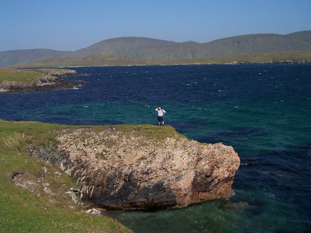
South Geo, Kettla Ness, Shetland
Looking north east over the West Voe towards "Muskna Field" (the big hill in the distance).
 Map © Crown Copyright")
TIP: Click the map for more Large scale mapping
- Grid Square
- HU3528, 6 images (more nearby 🔍)
- Photographer
- Bob Embleton (more nearby)
- Date Taken
- Monday, 9 August, 2004 (more nearby)
- Submitted
- Saturday, 30 April, 2005
- Subject Location
-
OSGB36:
 HU 35 28 [1000m precision]
WGS84: 60:2.3835N 1:21.8755W