2005
SU3466 : Cold Harbour near Hungerford
taken 19 years ago, near to Hungerford, West Berkshire, England
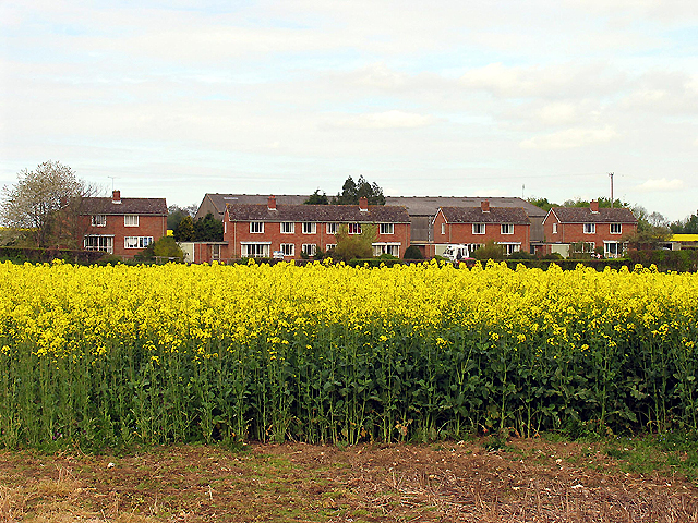
Cold Harbour near Hungerford
This place is situated between the byway and the road to Inkpen from Hungerford, in the northern half of the grid square near the edge. The picture was taken from the east side of the lane, looking north.
 Map © Crown Copyright")
TIP: Click the map for more Large scale mapping
- Grid Square
- SU3466, 13 images (more nearby 🔍)
- Photographer
- Pam Brophy (more nearby)
- Date Taken
- Friday, 29 April, 2005 (more nearby)
- Submitted
- Saturday, 30 April, 2005
- Subject Location
-
OSGB36:
 SU 34 66 [1000m precision]
WGS84: 51:23.7895N 1:30.3298W