2005
SU1100 : Hurn Forest
taken 19 years ago, near to St Leonards, Dorset, England
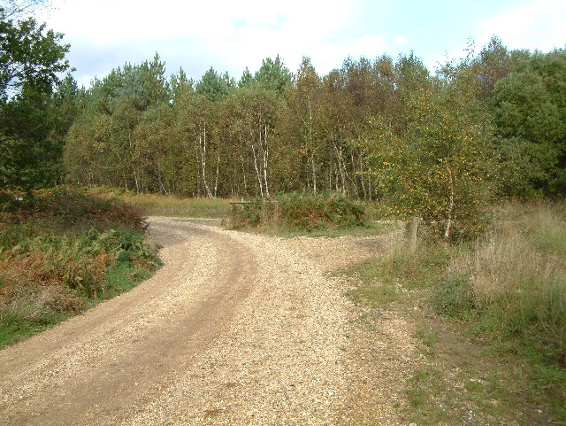
Hurn Forest
The junction of two tracks.
 Map © Crown Copyright")
TIP: Click the map for more Large scale mapping
- Grid Square
- SU1100, 9 images (more nearby 🔍)
- Photographer
- Stuart Buchan (more nearby)
- Date Taken
- Sunday, 9 October, 2005 (more nearby)
- Submitted
- Sunday, 9 October, 2005
- Subject Location
-
OSGB36:
 SU 113 003 [100m precision]
WGS84: 50:48.1290N 1:50.4609W