2003
NH1577 : Destitution Road
taken 21 years ago, 3 km from Fain, Highland, Scotland
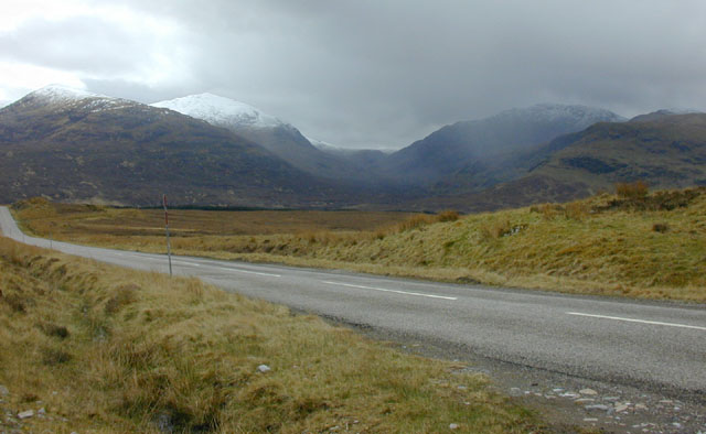
Destitution Road
So called because it was built during a 19th century potato famine to provide relief. The visible road is actually recent; the photograph was taken from the old road. In the distance, the Fannichs have had a spring shower.
 Map © Crown Copyright")
TIP: Click the map for more Large scale mapping
- Grid Square
- NH1577, 11 images (more nearby 🔍)
- Photographer
- Nigel Brown (more nearby)
- Date Taken
- Saturday, 3 May, 2003 (more nearby)
- Submitted
- Wednesday, 12 December, 2007
- Subject Location
-
OSGB36:
 NH 154 772 [100m precision]
WGS84: 57:44.7925N 5:6.1523W - Camera Location
-
OSGB36: NH 154 772
- View Direction
- SOUTH (about 180 degrees)