2005
NT1088 : Cycle Path
taken 19 years ago, near to Townhill, Fife, Scotland
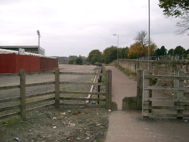
Cycle Path
Looking West towards Dunfermline town centre, Dunfermline Cemetery is on the right and East End Park is on the left NT1087.
 Map © Crown Copyright")
TIP: Click the map for more Large scale mapping
- Grid Square
- NT1088, 19 images (more nearby 🔍)
- Photographer
- Paul McIlroy (more nearby)
- Date Taken
- Wednesday, 5 October, 2005 (more nearby)
- Submitted
- Sunday, 9 October, 2005
- Subject Location
-
OSGB36:
 NT 10 88 [1000m precision]
WGS84: 56:4.8541N 3:26.3783W