2005
SU6562 : Track to Hasker's Farm
taken 19 years ago, near to West End Green, Hampshire, England
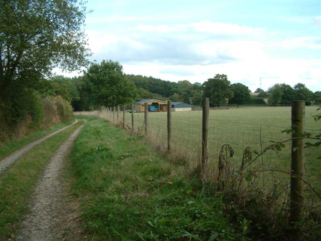
Track to Hasker's Farm
Track to Hasker's Farm - The Farm itself is the other side of the trees, which themselves disguise Bramley Railway cutting.
 Map © Crown Copyright")
TIP: Click the map for more Large scale mapping
- Grid Square
- SU6562, 31 images (more nearby 🔍)
- Photographer
- Colin Bates (more nearby)
- Date Taken
- Sunday, 9 October, 2005 (more nearby)
- Submitted
- Monday, 10 October, 2005
- Subject Location
-
OSGB36:
 SU 652 621 [100m precision]
WGS84: 51:21.2546N 1:3.9048W