2002
NG8852 : The Allt Coire Roill
taken 22 years ago, near to Annat, Highland, Scotland
This is 1 of 2 images, with title The Allt Coire Roill in this square
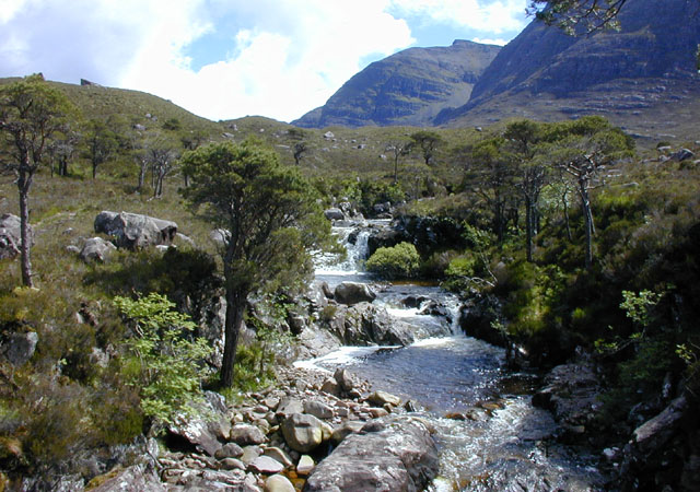
The Allt Coire Roill
Looking upstream, with the summit of Beinn Damh in the distance.
 Map © Crown Copyright")
TIP: Click the map for more Large scale mapping
- Grid Square
- NG8852, 11 images (more nearby 🔍)
- Photographer
- Nigel Brown (more nearby)
- Date Taken
- Monday, 3 June, 2002 (more nearby)
- Submitted
- Saturday, 22 December, 2007
- Subject Location
-
OSGB36:
 NG 885 529 [100m precision]
WGS84: 57:31.0243N 5:31.9928W - Camera Location
-
OSGB36: NG 884 529
- View Direction
- South-southeast (about 157 degrees)