2004
HU2852 : Grasswater Inflow Burn
taken 20 years ago, near to Stanydale, Mainland, Shetland Islands, Scotland
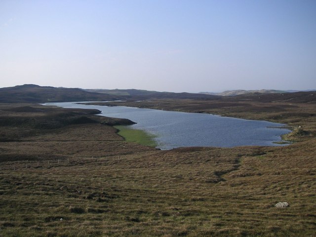
Grasswater Inflow Burn
Overgrown inflow burn at south end of Grasswater.
 Map © Crown Copyright")
TIP: Click the map for more Large scale mapping
- Grid Square
- HU2852, 2 images (more nearby 🔍)
- Photographer
- Robert Sandison (more nearby)
- Date Taken
- Saturday, 8 May, 2004 (more nearby)
- Submitted
- Saturday, 22 December, 2007
- Subject Location
-
OSGB36:
 HU 284 529 [100m precision]
WGS84: 60:15.5714N 1:29.2205W - Camera Location
-
OSGB36: HU 284 528
- View Direction
- North-northeast (about 22 degrees)