2007
TQ0001 : Climping Street, Climping
taken 16 years ago, near to Climping, West Sussex, England
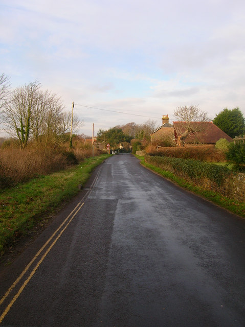
Climping Street, Climping
The main village street is some distance from the village church and began growing as a population centre from the 16th century onwards as the chief route to the sea. The narrow street can be clogged with traffic during the summer as many people make for the popular beaches at Atherington. Taken from the point where the footpath from Kent's Farm reaches the street.
 Map © Crown Copyright")
TIP: Click the map for more Large scale mapping
- Grid Square
- TQ0001, 122 images (more nearby 🔍)
- Photographer
- Simon Carey (more nearby)
- Date Taken
- Saturday, 22 December, 2007 (more nearby)
- Submitted
- Saturday, 22 December, 2007
- Subject Location
-
OSGB36:
 TQ 001 014 [100m precision]
WGS84: 50:48.2108N 0:34.8071W - Camera Location
-
OSGB36: TQ 001 013
- View Direction
- North-northwest (about 337 degrees)