2020
NZ0017 : Ruined building on farmland
taken 4 years ago, near to Lartington, County Durham, England
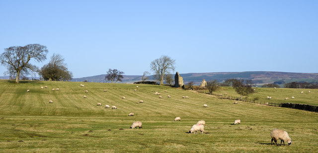
Ruined building on farmland
The ground lies to the north of Lartington Green and is seen here from Lartington Green Lane.
 Map © Crown Copyright")
TIP: Click the map for more Large scale mapping
- Grid Square
- NZ0017, 8 images (more nearby 🔍)
- Photographer
- Trevor Littlewood (more nearby)
- Date Taken
- Monday, 3 February, 2020 (more nearby)
- Submitted
- Monday, 3 February, 2020
- Subject Location
-
OSGB36:
 NZ 0019 1766 [10m precision]
WGS84: 54:33.2511N 1:59.9145W - Camera Location
-
OSGB36: NZ 0016 1742
- View Direction
- NORTH (about 0 degrees)