2020
ST9134 : A303, Chicklade Bottom
taken 4 years ago, near to Chicklade, Wiltshire, England
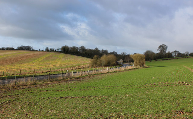
A303, Chicklade Bottom
As seen from the Wessex Ridgeway, after crossing the A303
A303 Road
The A303 is a main trunk road running 92 miles between Basingstoke and Honiton. Along with the A30 and M3 it forms a major route between London and the South West. Much of the road is dual carriageway, but some stretches remain single and prone to congestion.
Wikipedia: Link
Wessex Ridgeway
The Wessex Ridgeway is a 136-mile long-distance footpath which runs from Marlborough in Wiltshire to Lyme Regis in Dorset. It was opened in 1994.
Wikipedia entry: Link
 Map © Crown Copyright")
TIP: Click the map for more Large scale mapping
- Grid Square
- ST9134, 26 images (more nearby 🔍)
- Photographer
- Chris Heaton (more nearby)
- Date Taken
- Wednesday, 12 February, 2020 (more nearby)
- Submitted
- Sunday, 23 February, 2020
- Subject Location
-
OSGB36:
 ST 9189 3462 [10m precision]
WGS84: 51:6.6489N 2:7.0337W - Camera Location
-
OSGB36: ST 9195 3467
- View Direction
- Southwest (about 225 degrees)