2007
NJ1455 : Where the track bends
taken 16 years ago, near to Barnhill, Moray, Scotland
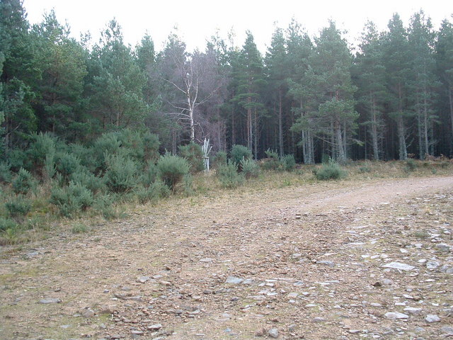
Where the track bends
The track through the forest is well made up and wide at this point.
 Map © Crown Copyright")
TIP: Click the map for more Large scale mapping
- Grid Square
- NJ1455, 4 images (more nearby 🔍)
- Photographer
- alan souter (more nearby)
- Date Taken
- Saturday, 29 December, 2007 (more nearby)
- Submitted
- Saturday, 29 December, 2007
- Subject Location
-
OSGB36:
 NJ 140 553 [100m precision]
WGS84: 57:34.7939N 3:26.3485W - Camera Location
-
OSGB36: NJ 140 553
- View Direction
- East-southeast (about 112 degrees)