2007
TQ8677 : About as flat as it gets...
taken 16 years ago, near to Grain, Medway, England
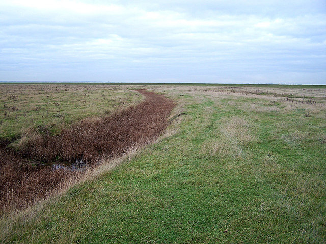
About as flat as it gets...
On Allhallows Marshes. The line on the horizon is a levee, the other side of which is Yantlet Creek. The creek was once responsible for the Isle of Grain being an island
 Map © Crown Copyright")
TIP: Click the map for more Large scale mapping
- Grid Square
- TQ8677, 53 images (more nearby 🔍)
- Photographer
- Richard Dorrell (more nearby)
- Date Taken
- Sunday, 30 December, 2007 (more nearby)
- Submitted
- Sunday, 30 December, 2007
- Subject Location
-
OSGB36:
 TQ 865 770 [100m precision]
WGS84: 51:27.7227N 0:41.0181E - Camera Location
-
OSGB36: TQ 865 770
- View Direction
- North-northeast (about 22 degrees)