2007
SE2154 : Western end of John O'Gaunt's Reservoir
taken 16 years ago, near to Bland Hill, North Yorkshire, England
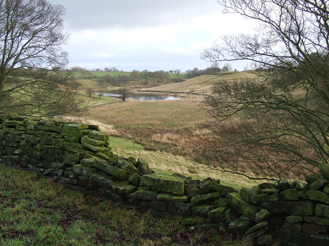
Western end of John O'Gaunt's Reservoir
This view was taken from 'Bank Slack' looking towards the western end of John O'Gaunt's Reservoir.
 Map © Crown Copyright")
TIP: Click the map for more Large scale mapping
- Grid Square
- SE2154, 49 images (more nearby 🔍)
- Photographer
- Roger Nunn (more nearby)
- Date Taken
- Sunday, 30 December, 2007 (more nearby)
- Submitted
- Monday, 31 December, 2007
- Subject Location
-
OSGB36:
 SE 215 545 [100m precision]
WGS84: 53:59.2094N 1:40.3431W - Camera Location
-
OSGB36: SE 214 545
- View Direction
- EAST (about 90 degrees)