2008
TQ0665 : Thames at Dockett Point
taken 16 years ago, near to Weybridge, Surrey, England
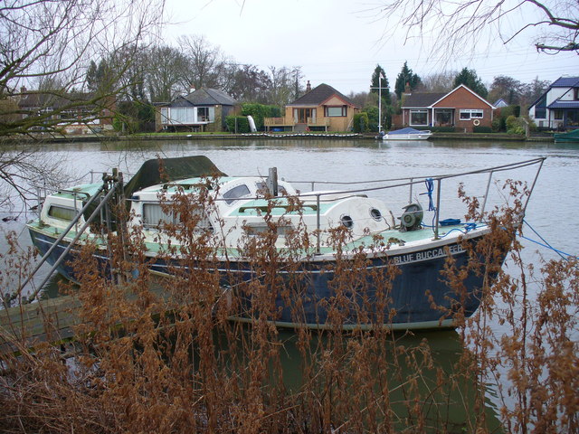
Thames at Dockett Point
Looking to the south bank where the river makes a right-angled bend around the point. The houses hereabout are often built on raised platforms to avoid floodwater.
 Map © Crown Copyright")
TIP: Click the map for more Large scale mapping
- Grid Square
- TQ0665, 62 images (more nearby 🔍)
- Photographer
- Colin Smith (more nearby)
- Date Taken
- Friday, 4 January, 2008 (more nearby)
- Submitted
- Friday, 4 January, 2008
- Subject Location
-
OSGB36:
 TQ 065 658 [100m precision]
WGS84: 51:22.9189N 0:28.2366W - Camera Location
-
OSGB36: TQ 065 659
- View Direction
- Southwest (about 225 degrees)