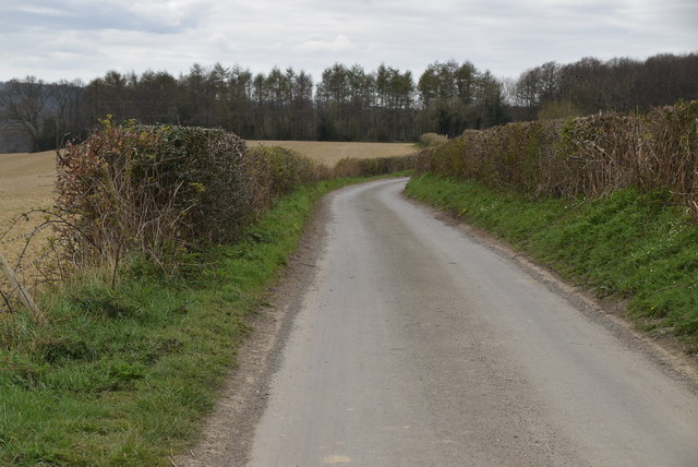
TQ6138 : High Woods Lane
taken 4 years ago, near to Pembury, Kent, England
The High Weald Landscape Trail (HWLT) is a 90 mile route between Horsham, West Sussex and Rye, East Sussex, designed to pass through the main landscape types of the High Weald Area of Outstanding Natural Beauty (AONB). It does not follow the highest ground, and the eastern section is only a few feet above sea level. It keeps to the northern edge of the High Weald except in the west where it runs close to the southern edge for a short distance.
It is a trail of regional importance supported by the High Weald Forum and local authorities in East and West Sussex, and Kent. The route is well signposted. It follows public rights of way and roads with the occasional permissive path.
The geology is alternating sandstones and clays, and the latter can be very muddy in wet conditions so boots are a must except in very dry weather. Some sections become very overgrown in summer with nettles and brambles.
A 27 mile circular walk around the town of Tunbridge Wells. The route was established in 1989 as part of the centenary celebrations of the town being granted the Borough Charter. There is no official start or end to the walk. The walk visits Southborough, Pembury, Frant, Eridge, Groombridge and Speldhurst as well as Eridge Rocks and Harrison Rocks. It is well signed along its entire length. As well as the main path there are four link paths from Tunbridge Wells and High Brooms stations to meet the path at Groombridge, Speldhurst, Southborough and Hawkenbury.
 Map © Crown Copyright")
- Grid Square
- TQ6138, 85 images (more nearby 🔍)
- Photographer
- N Chadwick (more nearby)
- Date Taken
- Friday, 3 April, 2020 (more nearby)
- Submitted
- Saturday, 30 May, 2020
- Subject Location
-
OSGB36:
 TQ 6106 3881 [10m precision]
WGS84: 51:7.5559N 0:18.0130E - Camera Location
-
OSGB36: TQ 6109 3883
- View Direction
- Southwest (about 225 degrees)