2008
TQ2650 : Eversfield
taken 16 years ago, near to Reigate, Surrey, England
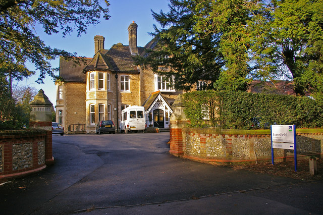
Eversfield
Eversfield is one of a number of large houses built in the late 1800s along the Reigate Road, many of which have now been demolished. Eversfield is now a care home, as was its neighbour Fonthill (situated behind the photographer) for many years (although now proposed for conversion to flats).
 Map © Crown Copyright")
TIP: Click the map for more Large scale mapping
- Grid Square
- TQ2650, 256 images (more nearby 🔍)
- Photographer
- Ian Capper (more nearby)
- Date Taken
- Saturday, 5 January, 2008 (more nearby)
- Submitted
- Saturday, 5 January, 2008
- Subject Location
-
OSGB36:
 TQ 264 502 [100m precision]
WGS84: 51:14.2352N 0:11.4205W - Camera Location
-
OSGB36: TQ 264 502
- View Direction
- WEST (about 270 degrees)