2008
SK6843 : The entrance to Gunthorpe Lock
taken 16 years ago, near to Gunthorpe, Nottinghamshire, England
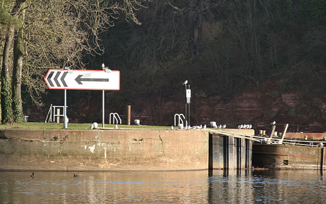
The entrance to Gunthorpe Lock
The large arrow directs craft into the lock.
 Map © Crown Copyright")
TIP: Click the map for more Large scale mapping
- Grid Square
- SK6843, 194 images (more nearby 🔍)
- Photographer
- Alan Murray-Rust (more nearby)
- Date Taken
- Sunday, 6 January, 2008 (more nearby)
- Submitted
- Tuesday, 8 January, 2008
- Subject Location
-
OSGB36:
 SK 686 437 [100m precision]
WGS84: 52:59.1747N 0:58.6951W - Camera Location
-
OSGB36: SK 685 437
- View Direction
- EAST (about 90 degrees)