2008
SK6843 : River Trent at Gunthorpe
taken 16 years ago, near to Gunthorpe, Nottinghamshire, England
This is 1 of 6 images, with title River Trent at Gunthorpe in this square
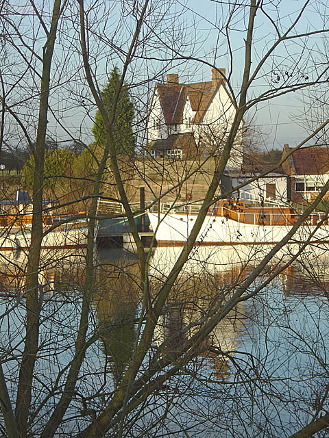
River Trent at Gunthorpe
This is where the former toll bridge was situated. The abutment and toll cottage are on the far bank.
 Map © Crown Copyright")
TIP: Click the map for more Large scale mapping
- Grid Square
- SK6843, 194 images (more nearby 🔍)
- Photographer
- Alan Murray-Rust (more nearby)
- Date Taken
- Sunday, 6 January, 2008 (more nearby)
- Submitted
- Tuesday, 8 January, 2008
- Subject Location
-
OSGB36:
 SK 684 437 [100m precision]
WGS84: 52:59.1764N 0:58.8917W - Camera Location
-
OSGB36: SK 684 435
- View Direction
- NORTH (about 0 degrees)