2008
SE8793 : Blakey Topping from the forestry to the north
taken 16 years ago, 5 km NE of Lockton, North Yorkshire, England
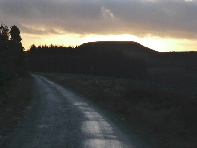
Blakey Topping from the forestry to the north
 Map © Crown Copyright")
TIP: Click the map for more Large scale mapping
- Grid Square
- SE8793, 44 images (more nearby 🔍)
- Photographer
- Phil Catterall (more nearby)
- Date Taken
- Sunday, 6 January, 2008 (more nearby)
- Submitted
- Wednesday, 9 January, 2008
- Subject Location
-
OSGB36:
 SE 873 938 [100m precision]
WGS84: 54:19.9384N 0:39.5383W - Camera Location
-
OSGB36: SE 875 943
- View Direction
- South-southwest (about 202 degrees)