2005
SD5189 : Crowpark Bridge
taken 19 years ago, near to Natland, Cumbria, England
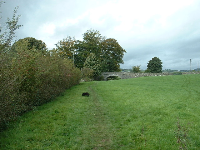
Crowpark Bridge
On the disused Lancaster Canal near Kendal. It's difficult to imagine that this 'normal' part of a farm field was once a major waterway. There is no water in the canal between Hincaster tunnel and Kendal with many sections, such as this one, completely filled in.
 Map © Crown Copyright")
TIP: Click the map for more Large scale mapping
- Grid Square
- SD5189, 32 images (more nearby 🔍)
- Photographer
- David Medcalf (more nearby)
- Date Taken
- Sunday, 9 October, 2005 (more nearby)
- Submitted
- Saturday, 15 October, 2005
- Subject Location
-
OSGB36:
 SD 513 891 [100m precision]
WGS84: 54:17.7110N 2:44.9844W - Camera Location
-
OSGB36: SD 514 890