2008
TQ0647 : Tilling Bourne
taken 16 years ago, near to Shere, Surrey, England
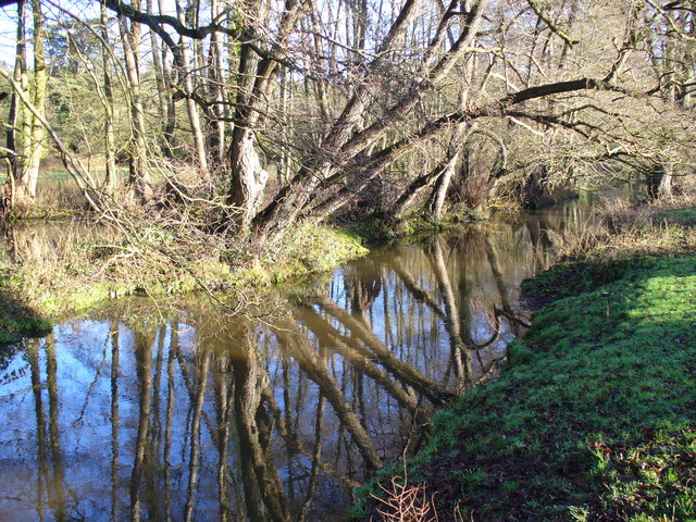
Tilling Bourne
Shallow, slow flowing stream following the bottom of the North Downs by Shere. Taken from Chantry Bridge.
 Map © Crown Copyright")
TIP: Click the map for more Large scale mapping
- Grid Square
- TQ0647, 194 images (more nearby 🔍)
- Photographer
- Colin Smith (more nearby)
- Date Taken
- Saturday, 12 January, 2008 (more nearby)
- Submitted
- Saturday, 12 January, 2008
- Subject Location
-
OSGB36:
 TQ 069 476 [100m precision]
WGS84: 51:13.0932N 0:28.1932W - Camera Location
-
OSGB36: TQ 069 476
- View Direction
- East-northeast (about 67 degrees)