2007
SH2081 : South Stack Road looking towards Snowdon Range
taken 16 years ago, 4 km W of Holyhead/Caergybi, Isle of Anglesey/Sir Ynys Mon, Wales
This is 1 of 3 images, with title starting with South Stack in this square
South Stack Road looking towards Snowdon Range
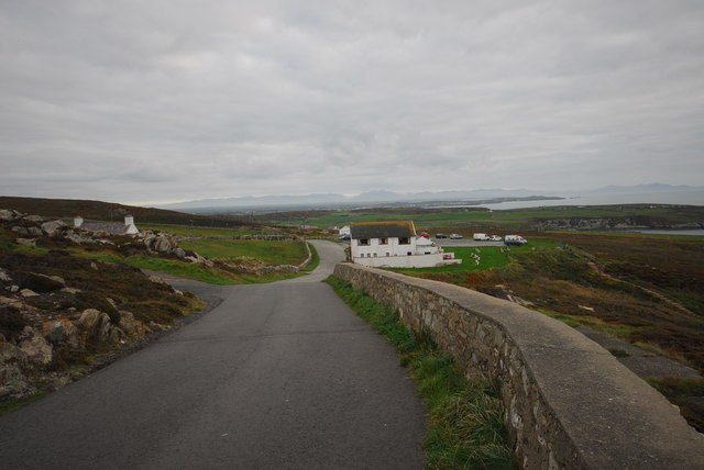
View from South stack Road looking towards Snowdon. Snowdon can be seen above the white house in the middle of the picture. RSPB car park is behind the house to the right.
 Map © Crown Copyright")
TIP: Click the map for more Large scale mapping
- Grid Square
- SH2081, 85 images (more nearby 🔍)
- Photographer
- gordon (more nearby)
- Date Taken
- Sunday, 4 November, 2007 (more nearby)
- Submitted
- Thursday, 17 January, 2008
- Subject Location
-
OSGB36:
 SH 209 819 [100m precision]
WGS84: 53:18.2442N 4:41.2872W - Camera Location
-
OSGB36: SH 209 819
- View Direction
- East-southeast (about 112 degrees)