2008
SU7252 : Warnborough Green
taken 16 years ago, near to North Warnborough, Hampshire, England
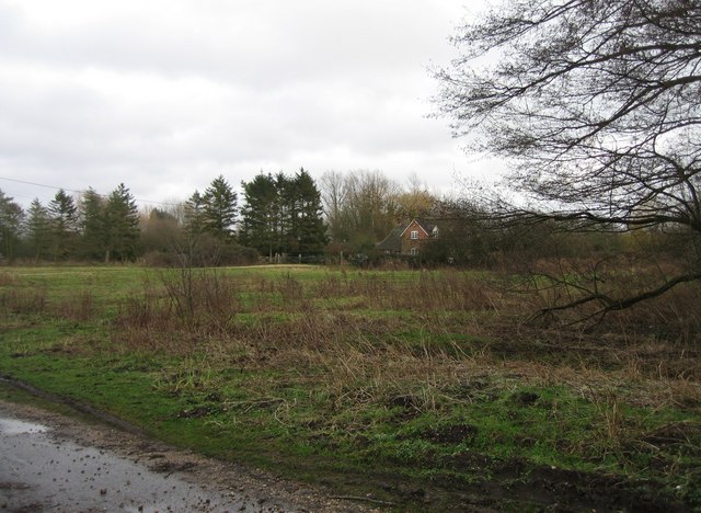
Warnborough Green
Part of the 'Access land' managed by Hampshire and Isle of Wight Wildlife Trust. This land extends northwards and joins with Bartley Heath and Hook Common.
 Map © Crown Copyright")
TIP: Click the map for more Large scale mapping
- Grid Square
- SU7252, 44 images (more nearby 🔍)
- Photographer
- Mr Ignavy (more nearby)
- Date Taken
- Saturday, 19 January, 2008 (more nearby)
- Submitted
- Saturday, 19 January, 2008
- Subject Location
-
OSGB36:
 SU 728 520 [100m precision]
WGS84: 51:15.7829N 0:57.4115W - Camera Location
-
OSGB36: SU 728 520
- View Direction
- EAST (about 90 degrees)